The surveying lab at the School of Civil and Environmental Engineering is a state-of-the-art facility designed for both teaching and research purposes. The lab is equipped with a range of advanced instruments and tools that allow students and researchers to carry out various types of surveys with high accuracy and precision.
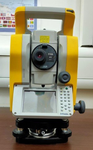
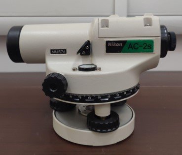
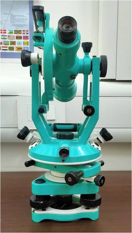
The lab is equipped with total stations, theodolites, digital levels, GNSS receivers, and other surveying equipment. These instruments are used for measuring angles, distances, and elevations, as well as for establishing control points and mapping features on the ground. The lab also has software programs for data processing and analysis, which are used to interpret and visualize the collected survey data.
In addition to teaching surveying techniques, the lab is also used for research projects in areas such as geomatics, land surveying, remote sensing, and geographic information systems. Students and researchers use the lab to conduct fieldwork, collect data, and analyze the results. The lab provides an opportunity for students to gain hands-on experience with surveying equipment and techniques and to apply theoretical concepts in real-world scenarios.